Description
TRIGLAV
This package contains Simathlon software (virtual landscape and cycling route on top of mountain Triglav).
Landscape data:
- Landscape size: 64 km²
- Length of cycling path: 30+ km
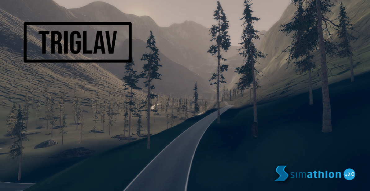
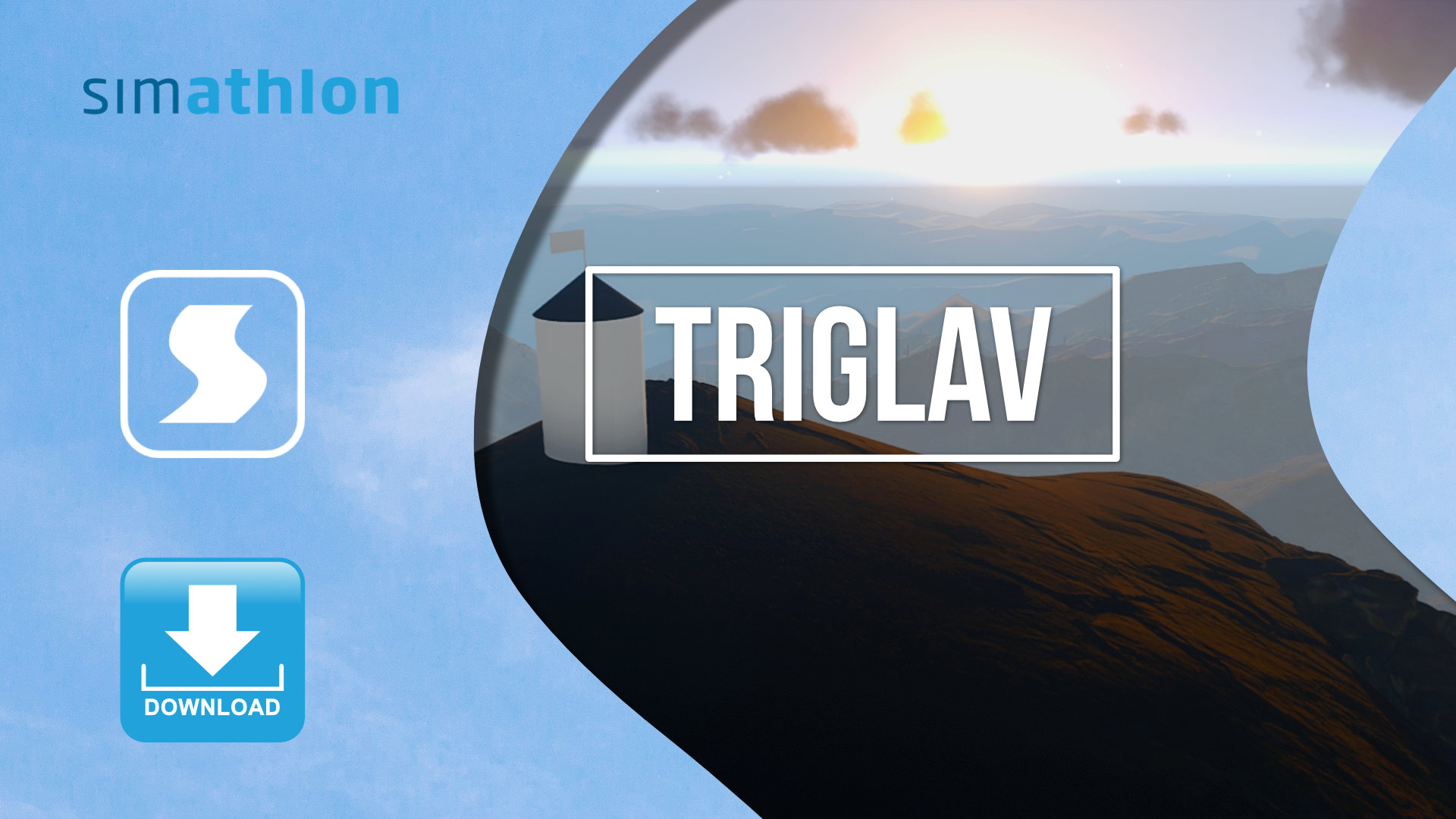
You will drive through the authentic natural environment and beautiful valleys and peaks of northwestern Slovenia, surrounded by lush forests. After a few minutes of cycling, you will slowly start climbing to the top of Slovenia’s highest mountain Triglav on various cycling routes, and there will be no shortage of adrenaline descents in between. When you cycle to the very top of mountain Triglav, you will view a very beautiful scenery of the Slovenian Alpine regions. During cycling, the weather (rain, sun, snow) and the day/night cycle also changes. You will occasionally be able to spot various animals along the road.

For the simulation to work properly, you need any cadence sensor, which you clamp around the pedal of your chosen bicycle before use, and an ANT + USB receiver.
When you purchase the simulation, you will receive an activation code via your e-mail address within the next 24 hours, with which you can generate your unique (UNLOCK) code on this page. Fill in all the required information and then press the Unlock button. You can find the number of your ANT + id in the upper right corner of the home screen, when you run the simulation, that you downloaded from our website. Then enter the newly generated code in the field after clicking on the “UNLOCK” button on the home screen in your installed simulation (otherwise you do not need a web connection to use Simathlon). More detailed instructions for use, activation process and technical requirements can be found here.


